Concrete on sloped lots near Cherry Log
Plan for the property’s actual grade, access and runoff, without assuming every Cherry Log site has the same conditions.
Document the Cherry Log grade and truck access
The state highway map identifies Cherry Log in Gilmer County; the county describes mountain-protection districts where elevation and slope meet specific criteria. If your work involves a sloped parcel, ask the relevant office about your property and project, rather than assuming that every site near Cherry Log is regulated the same way.
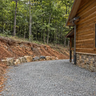
Sketch staging before pricing a Cherry Log project
Show the tightest turn, any gate and the spot where vehicles can turn around. Mark the existing high and low sides of a proposed pad or driveway and share where runoff goes after rain. Good access photos help describe the situation before equipment choices are discussed.
Local reference: Gilmer County Planning and Zoning. Having a town guide does not confirm service at an address.